

Technical Precision
We provide high-accuracy surveying solutions for diverse industries, combining advanced LiDAR and drone technology with decades of technical expertise to deliver precise data for real estate and government sectors.
Our mission is to redefine technical standards through authoritative precision. We are committed to providing the most accurate surveying data available, ensuring every project meets the highest technical benchmarks.

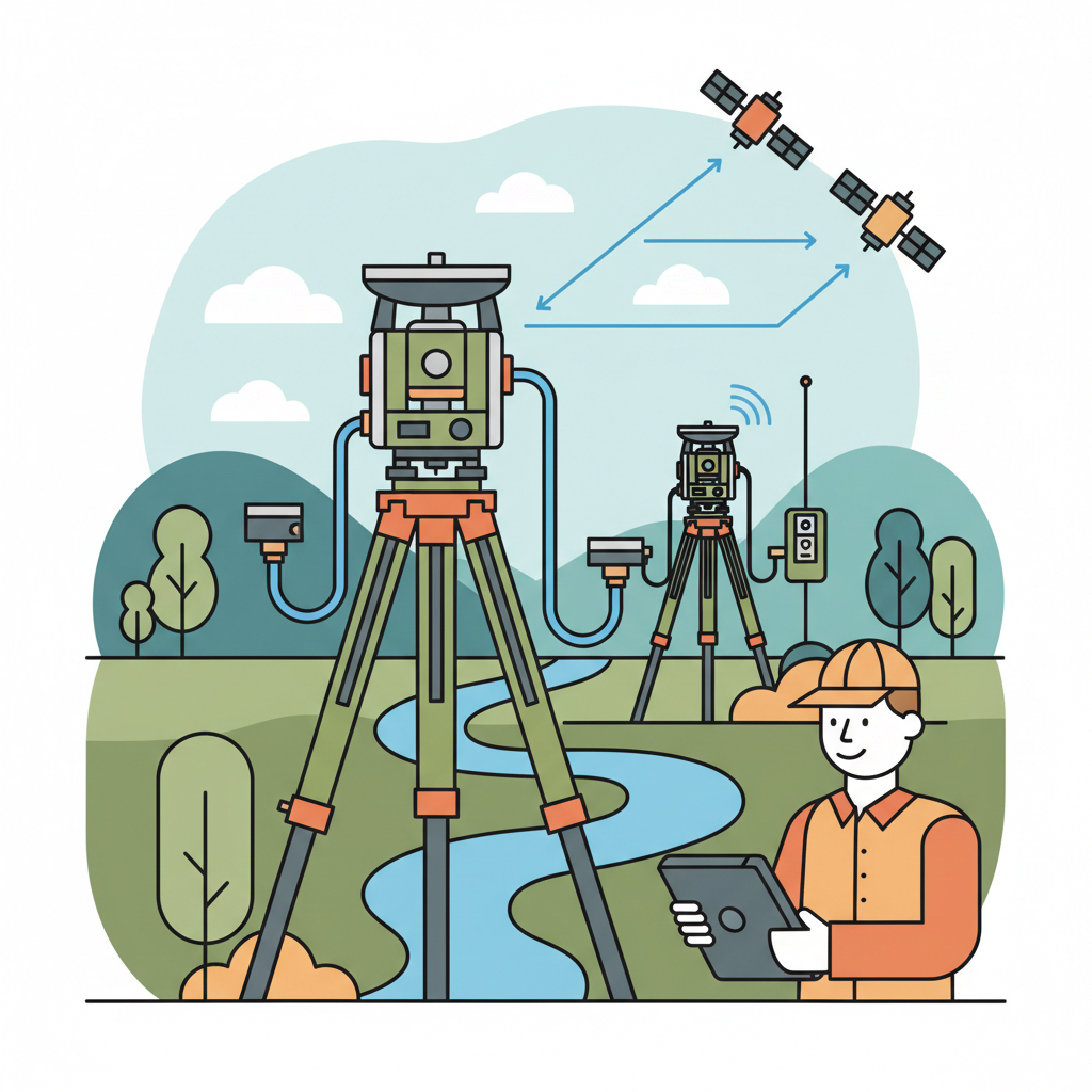
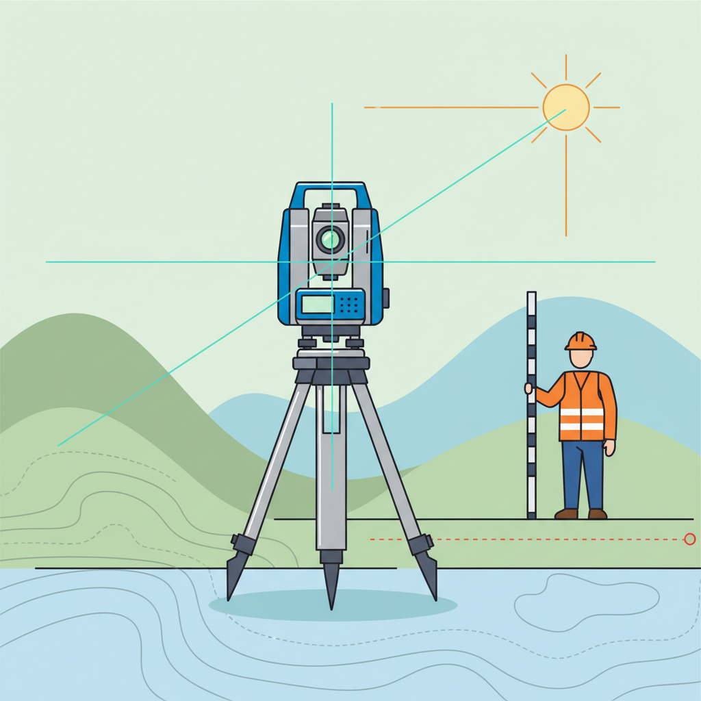
Comprehensive boundary mapping and topographic assessments for residential and commercial land development.
Our Services

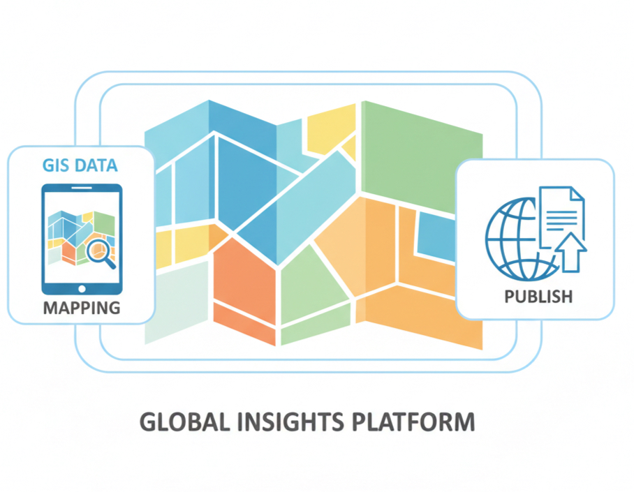
Organizing complex geographic data into clear, layered maps to support informed urban planning and analysis.

Deep-range laser scanning for complex industrial structures, providing millimeter-accurate 3D modeling.

Precise topographic mapping and water channel analysis to optimize agricultural water systems and drainage design.

Expert alignment mapping and structural planning to create safe, efficient transportation infrastructure.
Expert route alignment, structural planning, and mapping support for safe and efficient railway corridors.

Detailed vegetation inventory and boundary mapping to support sustainable forest management and conservation.

Accurate stockpile measurement and site terrain analysis to support efficient resource and waste management.

Accurate utility mapping and layout analysis to support efficient water distribution and sewer system design.

Precise structural layout marking and elevation setting to ensure accurate building alignment and stability.

Expert geo tagging with DGPS, GIS map publishing, and CORS/SOI GCP reporting for high-accuracy survey data.
Selected Projects


Our Clients



Get in Touch
sunglobesurvey@gmail.com
+91 9944176285
#5/89/H, Panju Kalipatti,
Omalur, Salem District,
Tamil Nadu 636 445, India