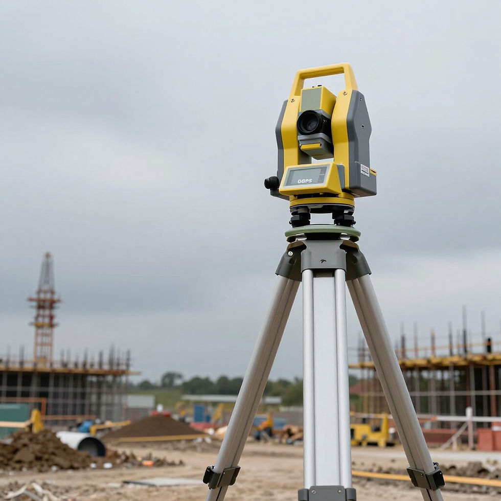
Pinpoint Precision Mapping
We integrate DGPS technology with advanced GIS map publishing to provide pinpoint location intelligence for construction and land development projects.
Technical Standards

We uphold the highest data integrity through SOI GCP compliance and CORS network integration. Our methodology ensures centimeter-level precision for complex infrastructure and land development projects globally.
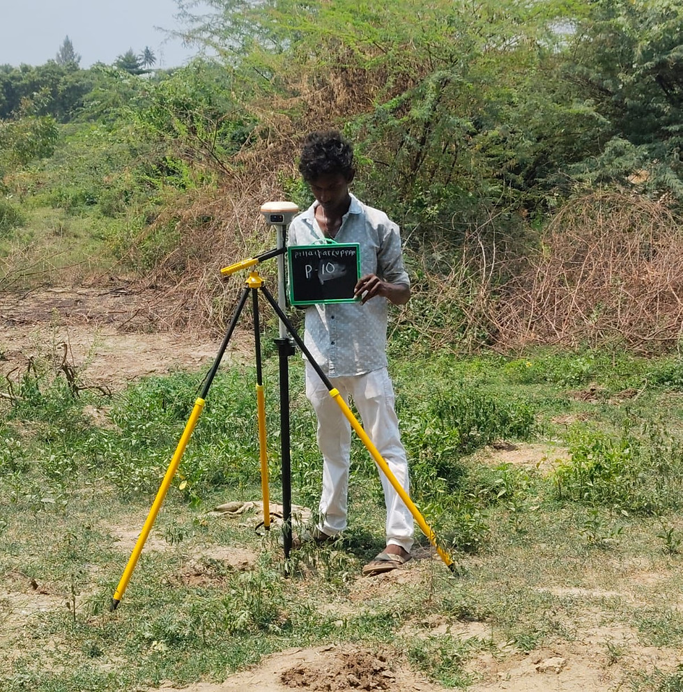


Deliverables and Reporting

GIS Maps
Comprehensive GIS maps featuring layered geospatial data, tailored for urban planning and landscape analysis across construction projects.

Geo-tagged Layers
Highly accurate DGPS geo-tagged layers delivered in industry-standard formats (KML, Shapefiles) for seamless infrastructure integration.

PDF Reports
Professionally formatted PDF reporting including CORS and SOI GCP verification, ensuring technical authority and compliance for land development.
Get a Quote
Request your precision survey today. Our expert team provides authoritative geo-tagging and GIS reports focused on benefits for construction, infrastructure, and land development.